K
Kathleen Martin
Guest
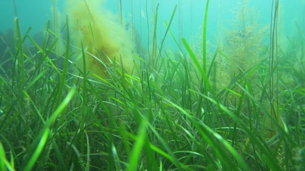
Scientists have begun surveying the Isle of Man's territorial seas for plants which store carbon as part of wider efforts to reduce emissions.
Drones with infrared cameras are being used to build a detailed picture of the 3970 sq km (1533 sq-mile) area.
Swansea University and the National Oceanography Centre are working with the Manx government on the year-long project to document "blue carbon".
Michelle Haywood MHK said the survey would establish a "useful baseline".
The project would enhance understanding of how much carbon is stored in the seas surrounding the island, manage any "damaging practices" that release it, and restore plants in certain areas, she added.
Under the "blue carbon project", scientists from the Southampton-based National Oceanographic Centre have started surveying Manx territorial waters to identify key storage areas, with samples to be taken in the coming months.
A spokesman for the Department of Environment, Food and Agriculture said the aim was to understand the ability of plants to store carbon underwater.
Once the information has been gathered, a marine management plan would be developed over the following two years, he added.
Continue reading: https://www.bbc.com/news/world-europe-isle-of-man-60840628